Construction postponed until later this year at the Zorra Line (Oxford Road 11) CN Rail crossing
Back to Search

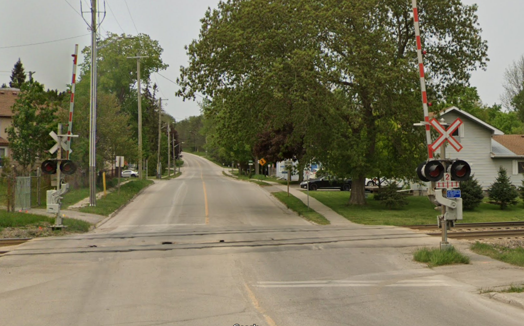
Zorra Line rail crossing

UPDATE: Crossing surface repairs at the CN Rail crossingon Zorra Line (Oxford Road 11) in Beachville will start on December 4. Zorra Line (Oxford Road 11) will be closed during construction starting at 7:00 a.m. Monday, December 4, to Friday, December 8, at 7:00 p.m. Please obey road closed signs and follow the posted detours.


Surface crossing repairs at the CN rail crossing on Zorra Line (Oxford Road 11) in Beachville, scheduled to start on November 27, have been postponed due to a delay from CN Rail. 

CN Rail has advised Oxford County that construction will commence before the end of 2023. Watch for updates on the Oxford County Facebook and X (formerly Twitter) social media channels once a new construction start date is confirmed. Zorra Line (Oxford Road 11) will be closed for five days during the surface crossing repair construction when it is rescheduled.

Search
I want to...
Connect...

Oxford County

21 Reeve Street, P.O Box
1614, Woodstock, Ontario
N4S 7Y3

Tel: 519-539-9800
Fax: 519-537-1053

General Email: customerservice@oxfordcounty.ca 
Email HR (Job Opportunities): hr@oxfordcounty.ca

Office Hours:
Monday to Friday 8:30 a.m. to 4:30 p.m.
(open during lunch)

For an emergency outside of regular hours, please call 1-800-755-0394 and listen for instructions for after-hours emergency calls.

Follow us on

Subscribe

Stay up-to-date on our news, career opportunities, public notices and more by signing up for eAlerts.

Wasteline App

View schedules, receive reminders, and get sorting tips for your garbage and recycling. Download the App (Apple or Android)

Department Directory

The County of Oxford is the upper tier to eight Area Municipalities and is responsible for the provision of a wide range of services to its residents.

View Directory

Oxford County Map

Oxford County offers many geographic data services and mapping products through the Corporate Geographic Information System (GIS).

View Maps