Oxford County
21 Reeve Street, P.O Box
1614, Woodstock, Ontario
N4S 7Y3
Tel: 519-539-9800
General Email: customerservice@oxfordcounty.ca
Email HR (Job Opportunities): hr@oxfordcounty.ca
Office Hours:
Monday to Friday 8:30 a.m. to 4:30 p.m.
(open during lunch)
For an emergency outside of regular hours, please call 1-800-755-0394 and listen for instructions for after-hours emergency calls.
Follow us on


Subscribe
Stay up-to-date on our news, career opportunities, public notices and more
by signing up for eAlerts.
Wasteline App
View schedules, receive reminders, and get sorting tips for your garbage and recycling.
Download the App (Apple
or Android)
Department Directory
The County of Oxford is the upper tier to eight Area Municipalities and is
responsible for the provision of a wide range of services to its residents.
View Directory
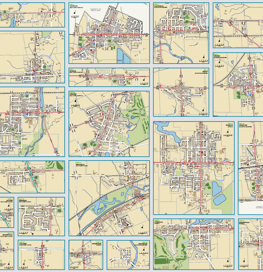
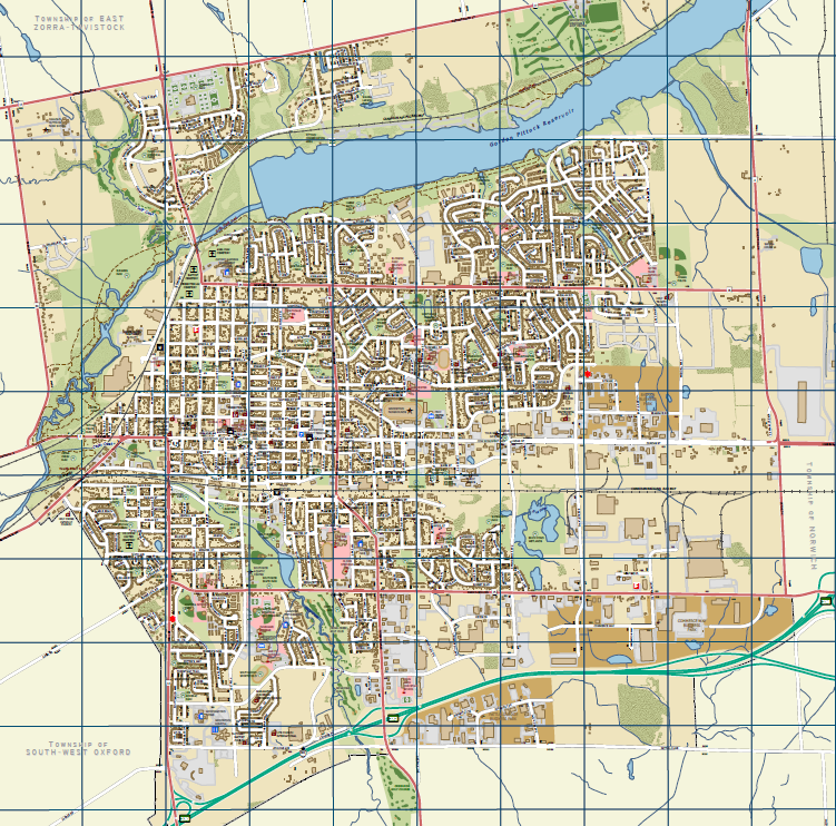
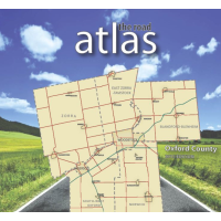
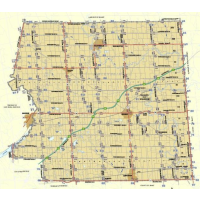
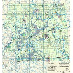
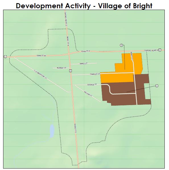
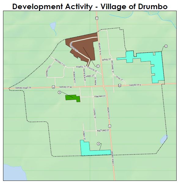
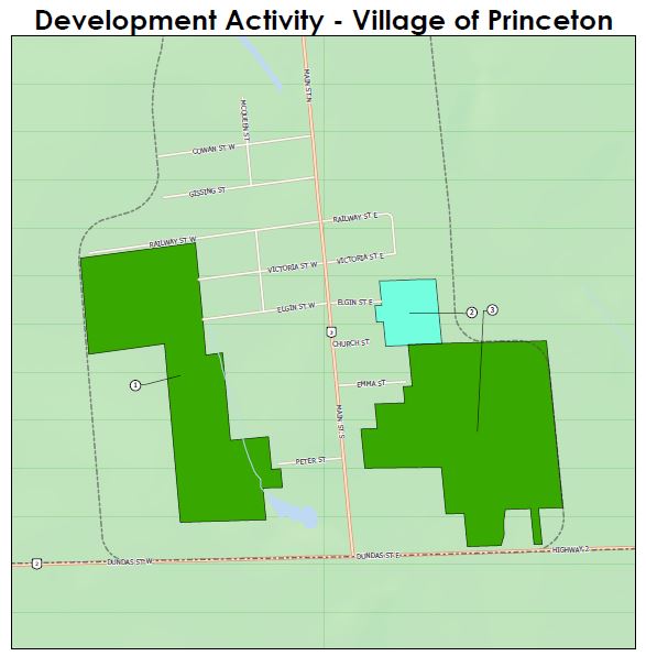
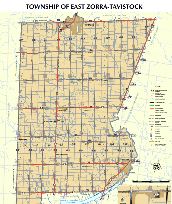
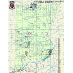
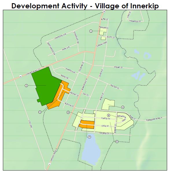
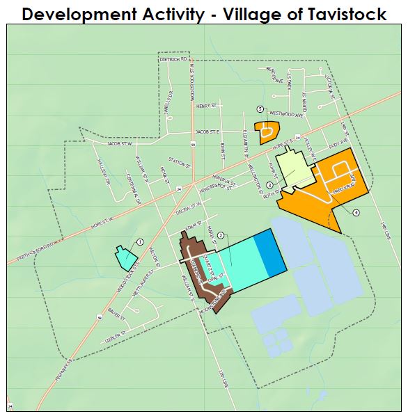
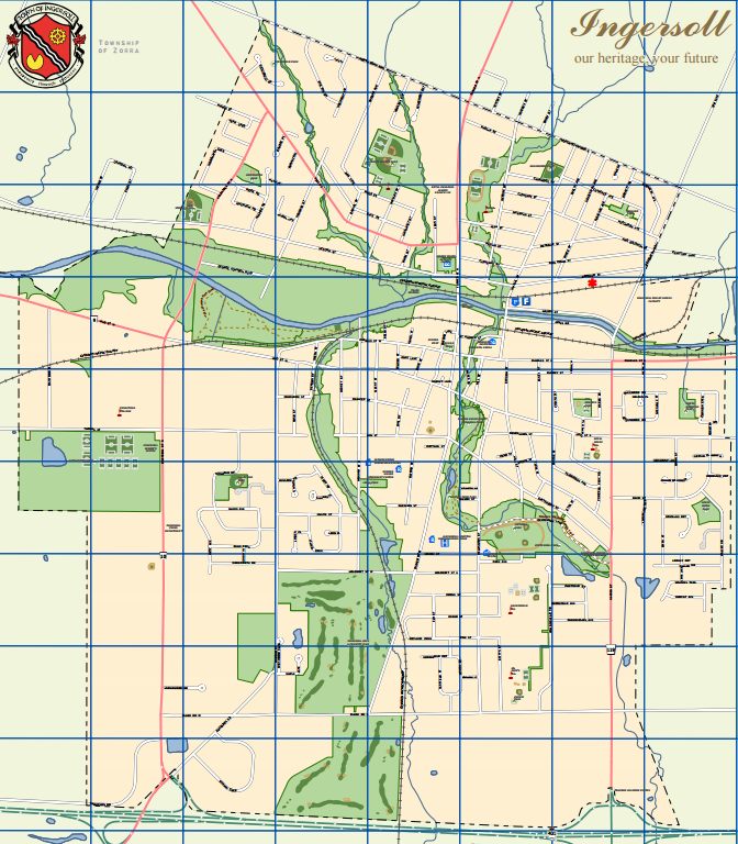
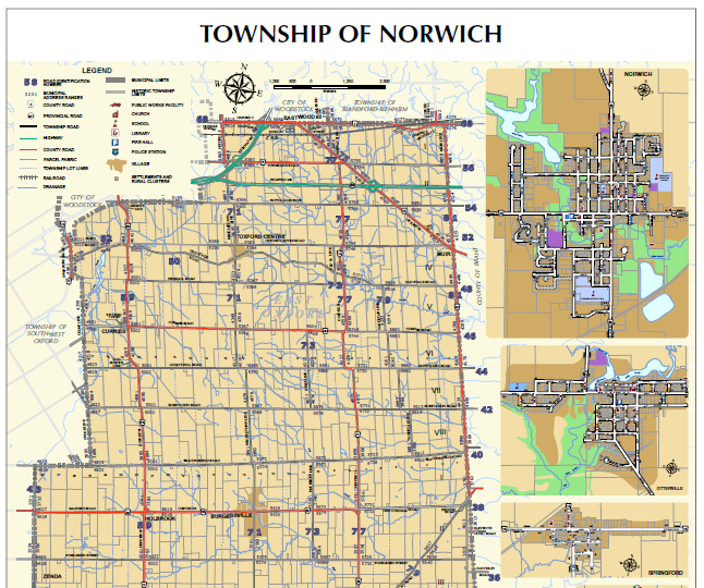
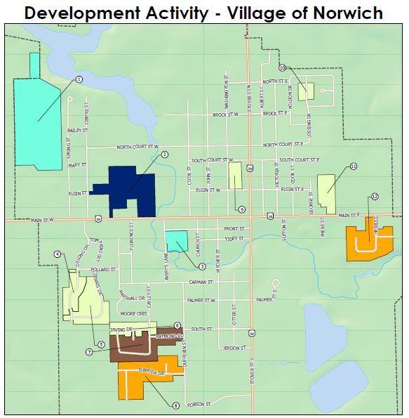
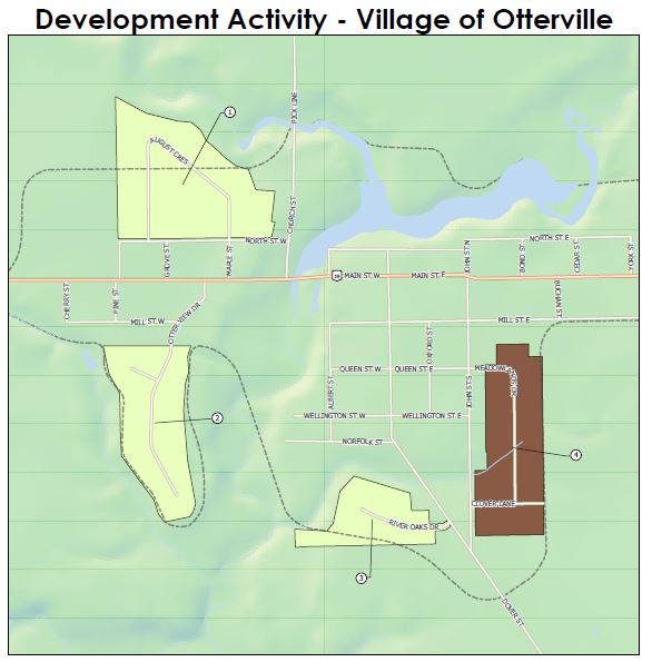
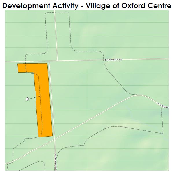
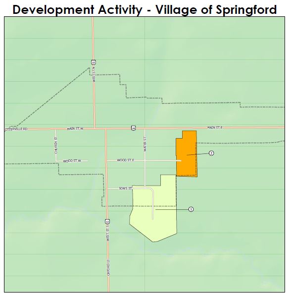
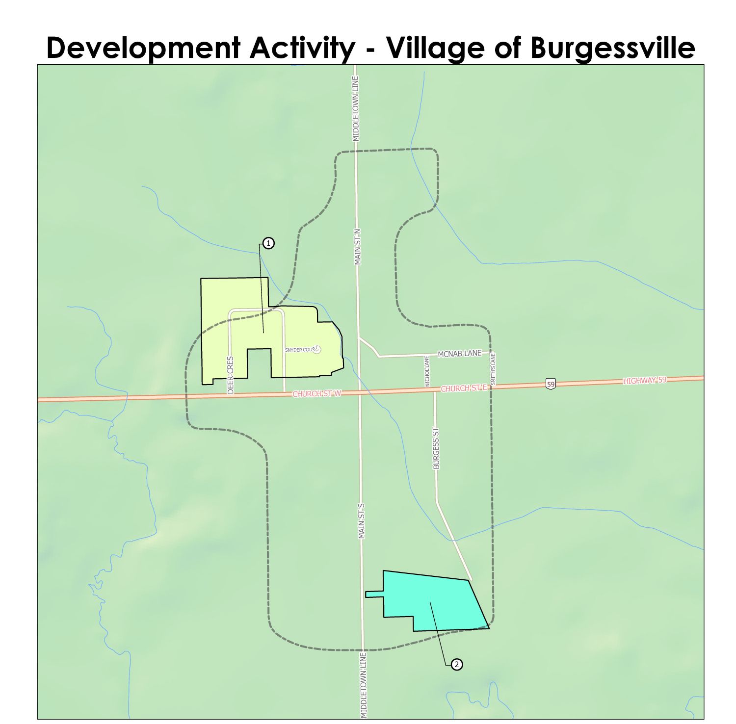
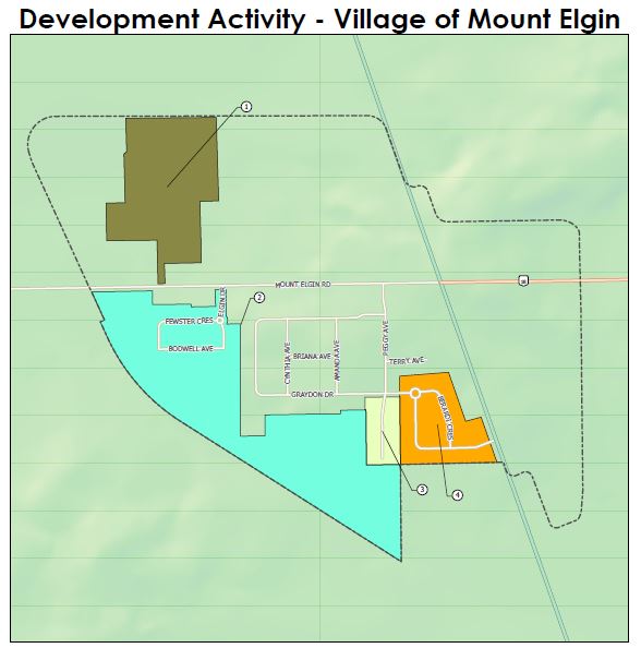
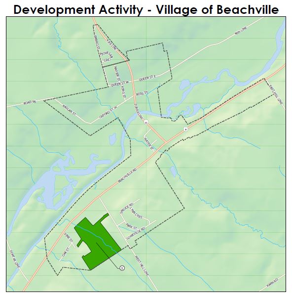
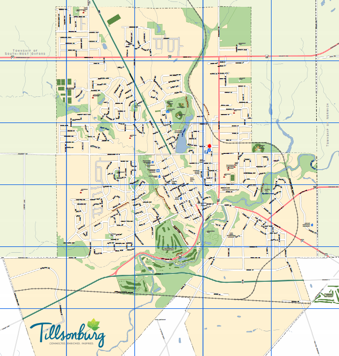
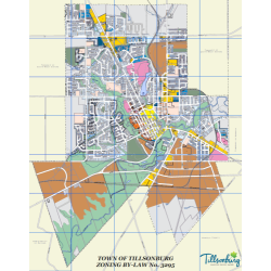
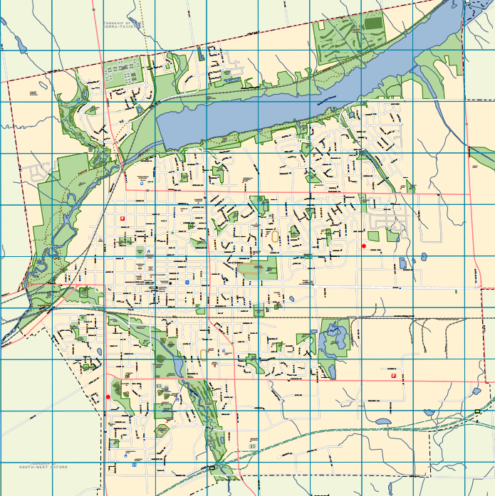
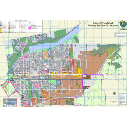
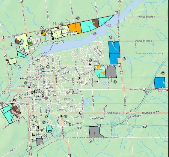
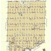
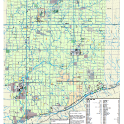
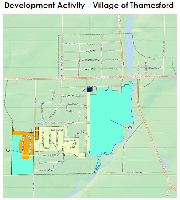
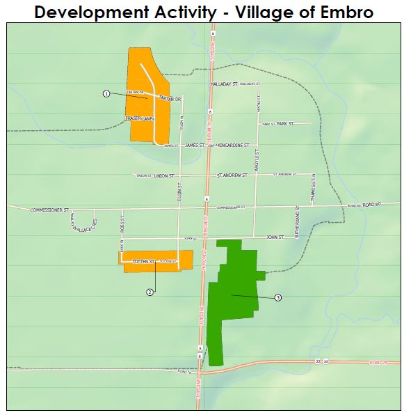
Oxford County Map
Oxford County offers many geographic data services and mapping products through the
Corporate Geographic Information System (GIS).
View Maps